3D mit map.apps
map.apps bietet maximale Optionen zur Integration Ihrer Daten für die 3D-Nutzung. Fertige und komplexe 3D-Webszenen aus ArcGIS lassen sich ebenso einfach einbinden, wie OGC 3D Streaming-Dienste (I3S) oder 3D SceneLayer Packages.
Mit map.apps ETL ist die Daten-Freiheit dann grenzenlos, nahezu beliebige Formate lassen sich damit integrieren. Und dies nicht nur konfigurativ durch den Administrator, sondern interaktiv durch den Endnutzer direkt in der App. Aber auch Anpassungen an bestehenden oder die Erfassung neuer 3D-Objekte wird über entsprechende Funktionen zur 3D-Editierung zum Kinderspiel.

Highlights
Download/ Export zur lokalen Nutzung
Upload/Import eigener 2D oder 3D-Daten
Zugriff auf Echtzeitdaten und Streaming
WebScenen Suche
Editierung von 3D-Daten
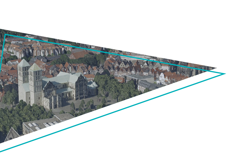
In vielen Fällen bietet bereits die reine 3D-Visualisierung des jeweiligen Raumausschnittes den entscheidenden Mehrwert. Das damit erzielbare realistischere Raum-Erlebnis, oft verstärkt durch hochauflösende Texturen, ermöglicht z.B. bereits Laien, die Qualität urbaner Planungsszenarien beurteilen zu können.
Aber auch zweidimensionale Daten lassen sich in map.apps quasi „on-the-fly“ durch client-seitiges Rendering dreidimensional darstellen. Unterschiede in den Daten werden durch den Nutzer so auch in Ihrer absoluten Dimension besser und intuitiver vergleichbar als durch jede Farbskala.

Highlights
Umschalten zwischen 2D und 3D
Tageslicht-Simulation
Alternatives Gebäude-Rendering
Integration von Untergrunddaten
3D-Marker & Labels
Thematische 3D-Darstellungen
Die Nutzung dreidimensionaler Geodaten in map.apps ermöglicht Ihnen über die pure Darstellung hinaus aber auch die Gewinnung ganz neuer Informationen, die über verschiedene Formen von 3D-Analysen sehr einfach abgeleitet werden können. Diese Einsichten in z.T. komplexe Zusammenhänge entstehen durch analytische Kombination dreidimensionaler Daten wie Untergrund, Gelände, Gebäude, Vegetation oder auch Beleuchtung.

Highlights
Höhenprofil mit Trennung Gelände/ Gebäude
3D-Schnitt-Funktion
Sichtbarkeitsanalyse
BIM & Gebäude-Explorer
3D-Messfunktion
Live 3D Demo
Überzeugen Sie sich selbst von den Möglichkeiten und Mehrwerten von map.apps in 3D und holen Sie sich ganz einfach Ihre kostenlose Demoversion.